Summary
This special number of Africana Studia results from a selection of papers submitted to the “Colonial and Postcolonial Landscapes: Architecture, Cities, Infrastructures – I International Congress”, which took place at the Calouste Gulbenkian Foundation, in Lisbon, in January 2019. The congress was part of the research project entitled “Coast to Coast – Late Portuguese Infrastructural Development in Continental Africa (Angola and Mozambique): Critical and Historical Analysis and Postcolonial Assessment” funded by ‘Fundaçã o para a Ciência e Tecnologia’ (FCT – Foundation for Science and Technology), with the reference PTDC/ATP- AQI/0742/2014, which lasted from 2015 to 2020. Gathering several institutions from Angola, Mozambique and Portugal as research partners, this project analyzed how the colonial strategies for territorial domination in Angola and Mozambique reflected upon the post-independent and current socio-spatial developments, especially focusing on three specific typologies of colonial public works: transport networks, hydroelectric facilities and settlements for resource exploitation.
Within this framework, the congress sought to broaden these concerns in three dimensions:
(i) at geographical level, by opening up the discussion to different territories of former colonial history, beyond Angola and Mozambique, thus creating opportunities for the discussions on colonial structural impacts in diverse contexts, allowing for contrasting strategies and agents,
as well as socio-spatial transformations;
(ii) at disciplinary level, by sharing perspectives from several scientific backgrounds with implications in the built environment, therefore promoting the joint discussions over the complex issues that are present in the production of space, in particular the creation and reproduction of social and territorial asymmetries; and
(iii) at the materiality level, aiming to discuss not only built testimonies of colonial administration, but also immaterial or invisible actions that led to spatial definitions of power and dominance, and mechanisms of segregation or democratization of access to resources and common goods. Therefore, the selected papers provide contributions to rethink colonial projects and interventions, considering their circumstances, complexities and impacts, often contradictory and perverse, from different perspectives and case-studies, allowing for a multi-layered interpretation of architecture and urbanism’s roles within colonial frameworks.
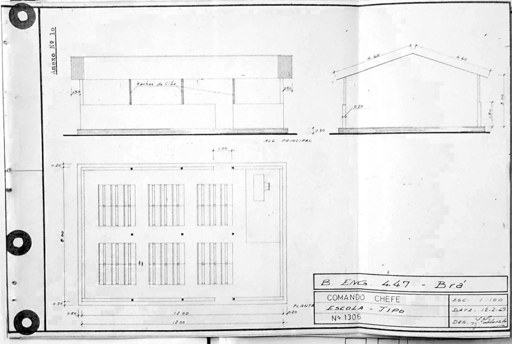
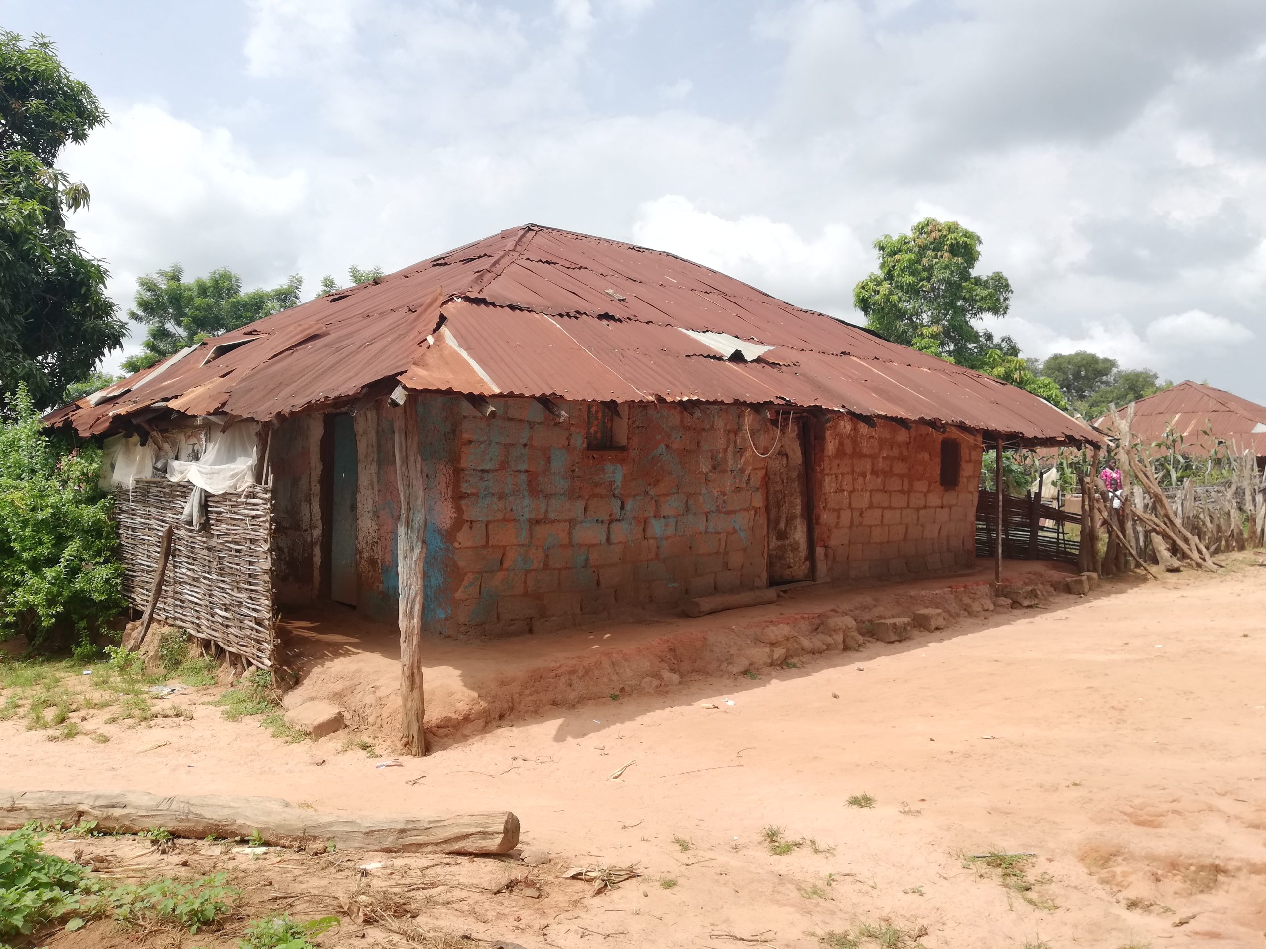
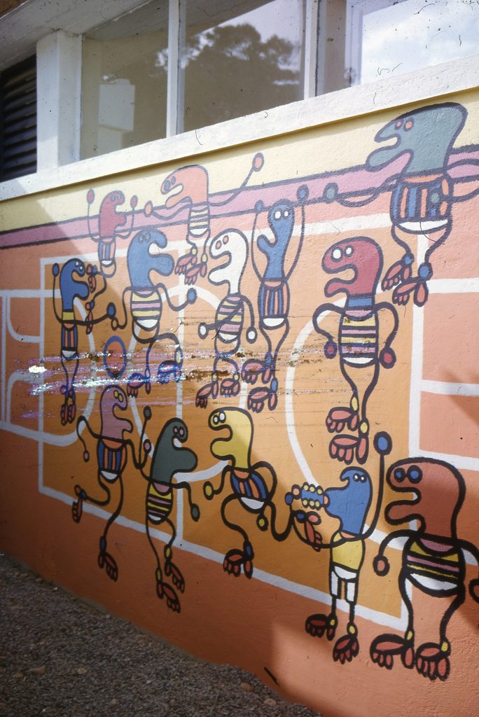
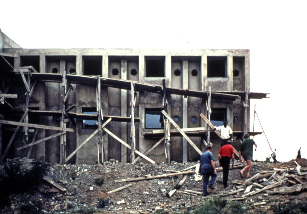
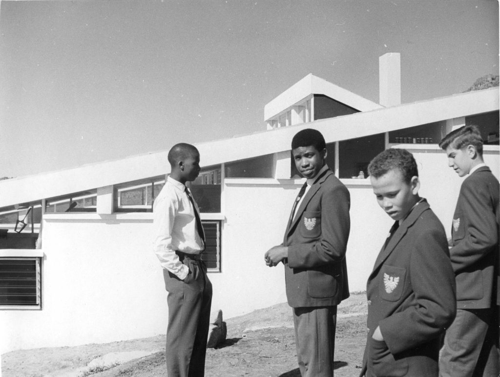
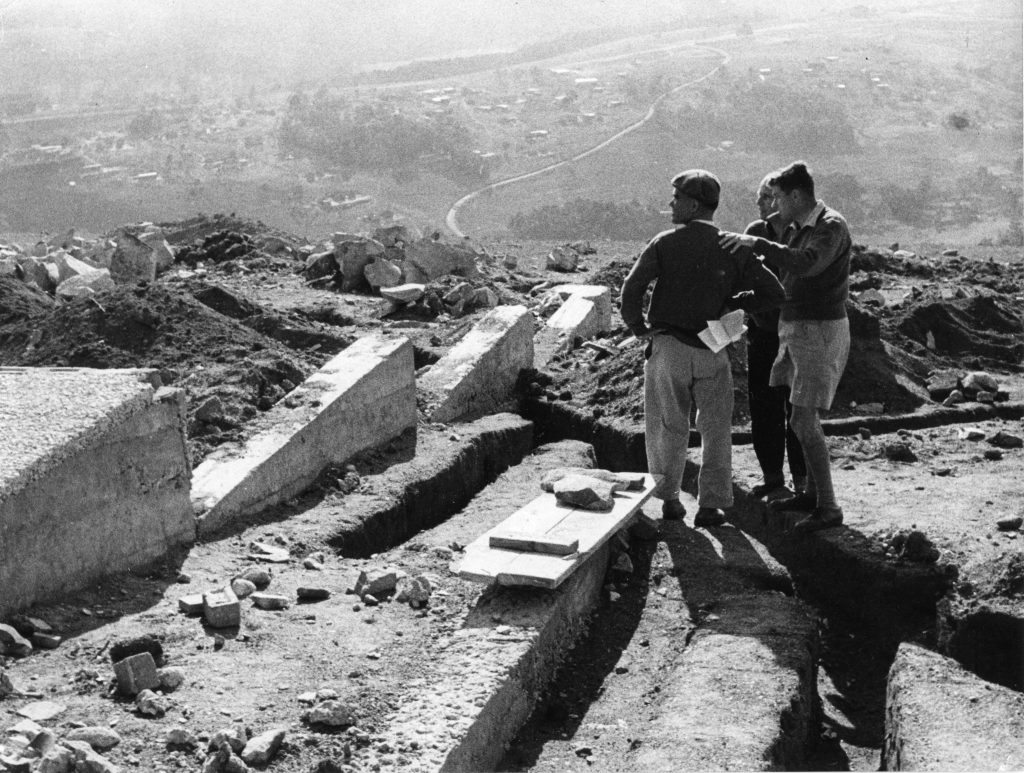
With this awareness, Fatima Zohra Saaid, Najoua Beqqal, Mouna Sedreddine and Siham Elgharbi, through a reflection on the incorporation of the traditional typology of the courtyard in colonial mass housing projects in Morocco, discussed the created continuities and discontinuities, by analyzing the use of vernacular architecture in these dwellings both as an intent for local cultural conciliation, as well as a contribution to international debates on modern living aspirations. The following text by Rui Aristides, addressing the Portuguese territories in late colonial domination, also feeds this debate, by questioning how modern architecture in former colonies represented both a technical space of freedom for architects and urbanists to explore innovative approaches to the built environment, as well as an attempt of legitimation of occupation through the production of built solutions that – despite being presented as tools of democratization – rather perpetuated the colonial dominance over these territories and unequal living conditions.
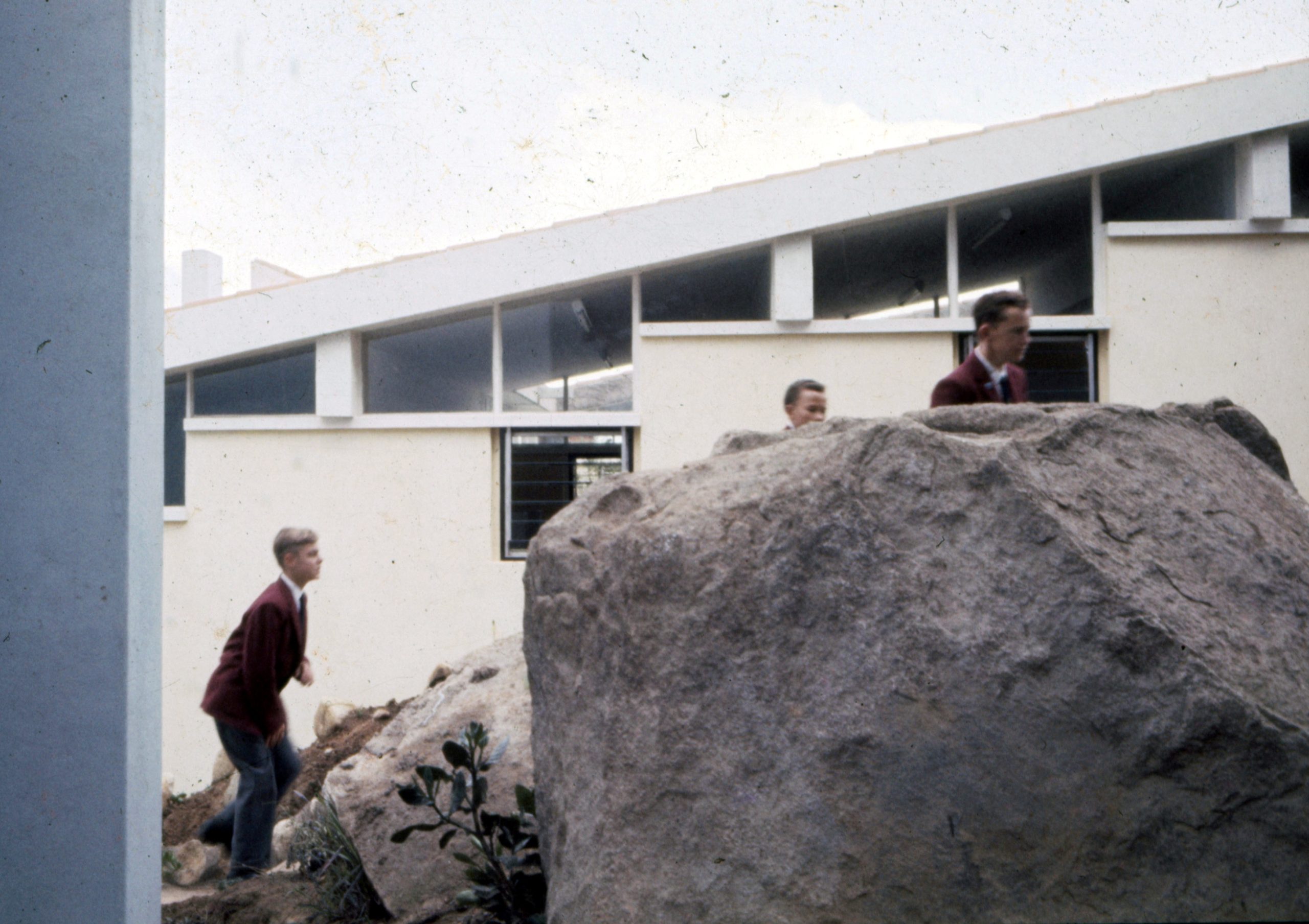
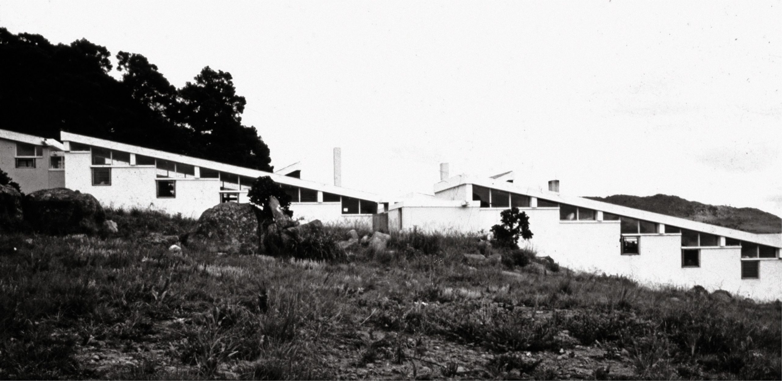
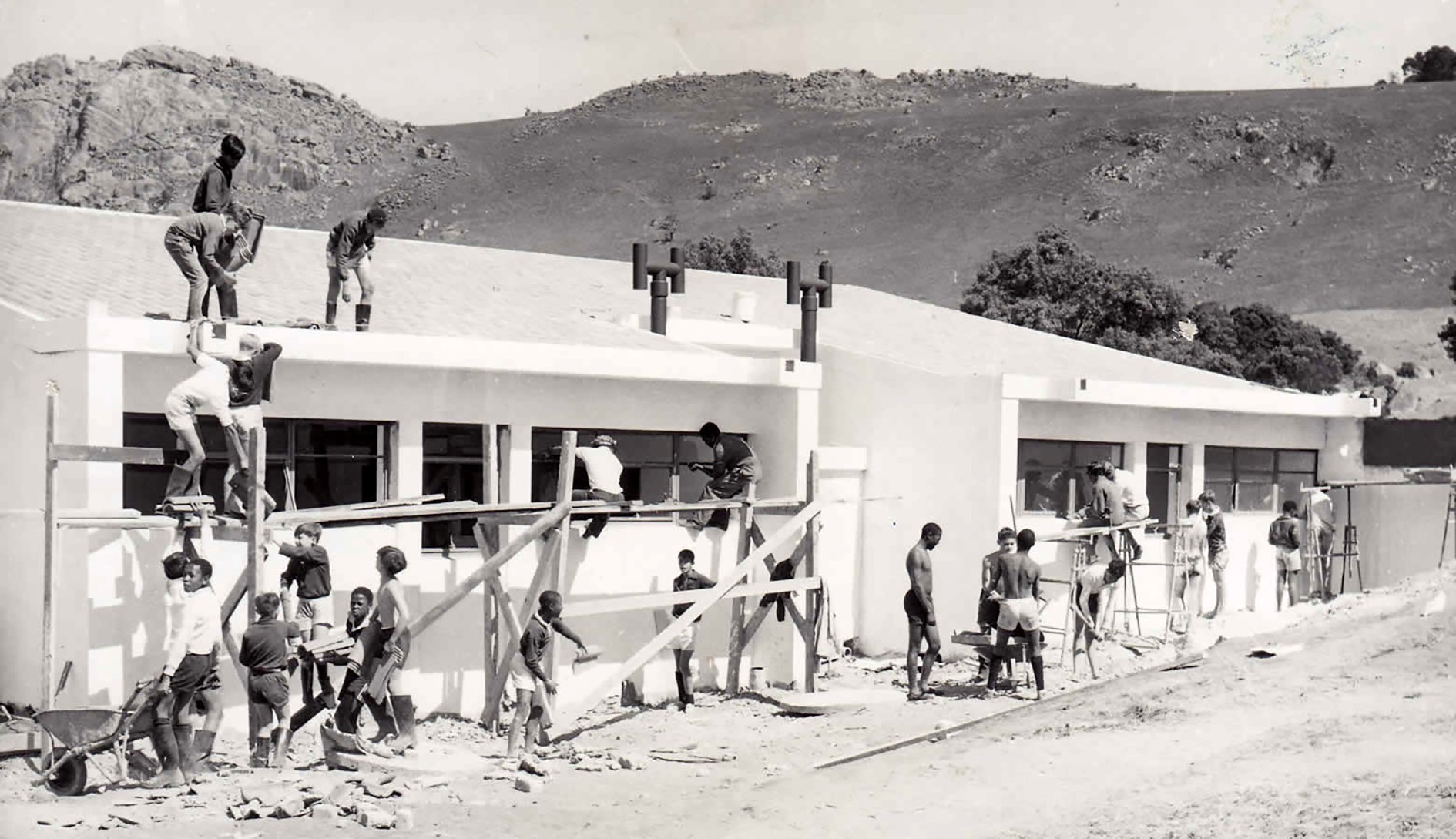
Baerbel Mueller shifts these debates to the pedagogical dimension, reflecting upon the role of academia as an essential framework for the conciliation of critical thinking and engaged action, by bridging efforts and promoting the joint knowledge construction with different stakeholders – communities, local associations, different generations – towards the production of relational spaces that celebrate diversity.
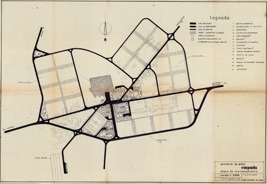
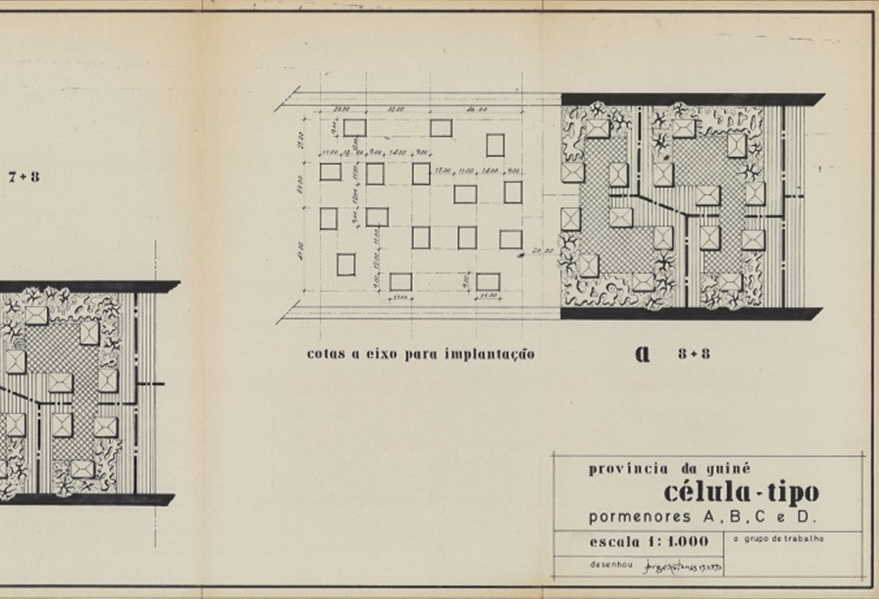
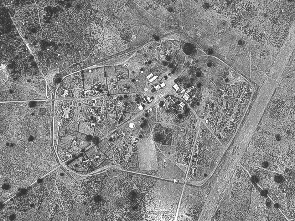
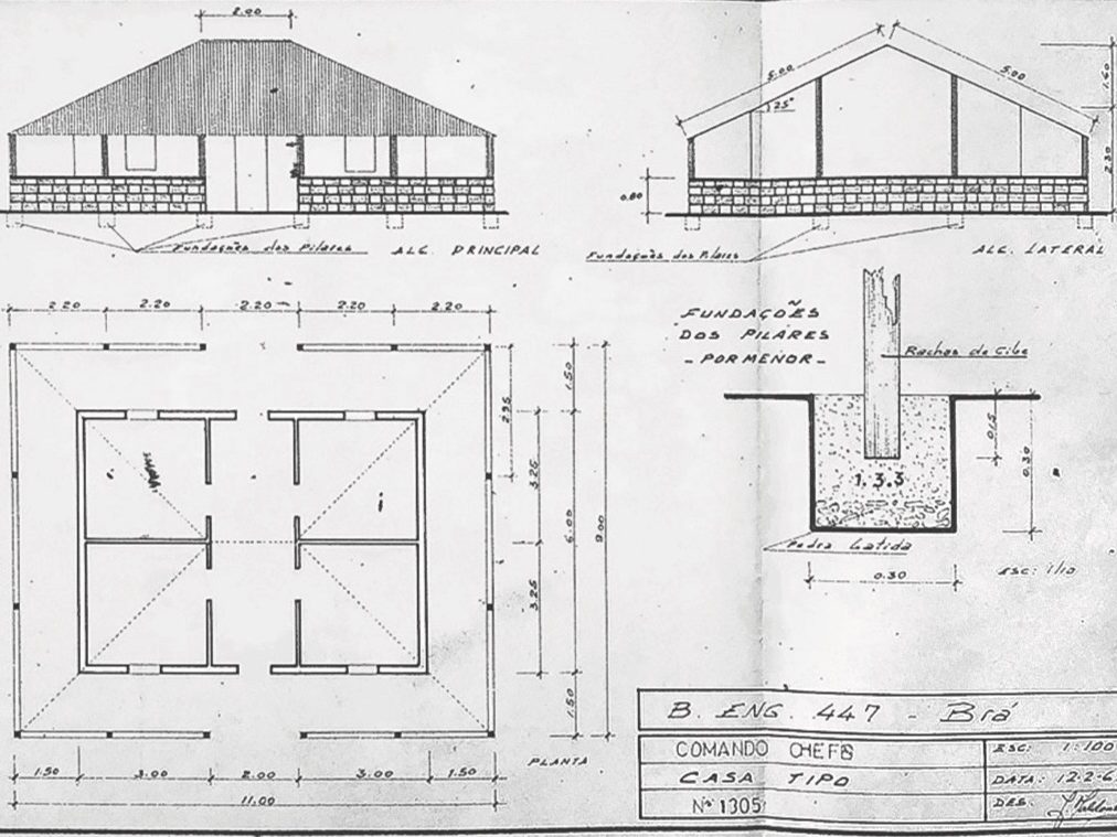
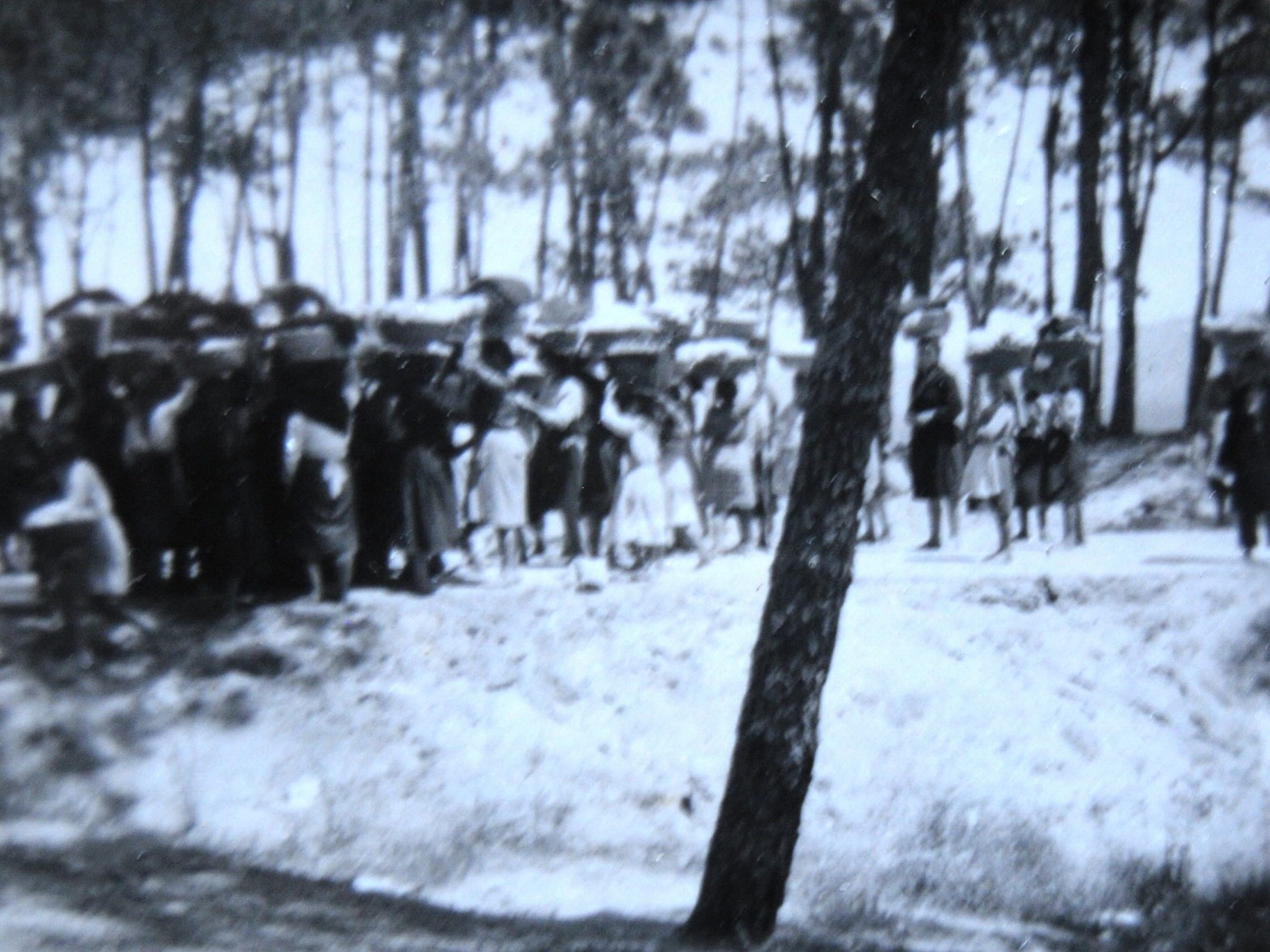
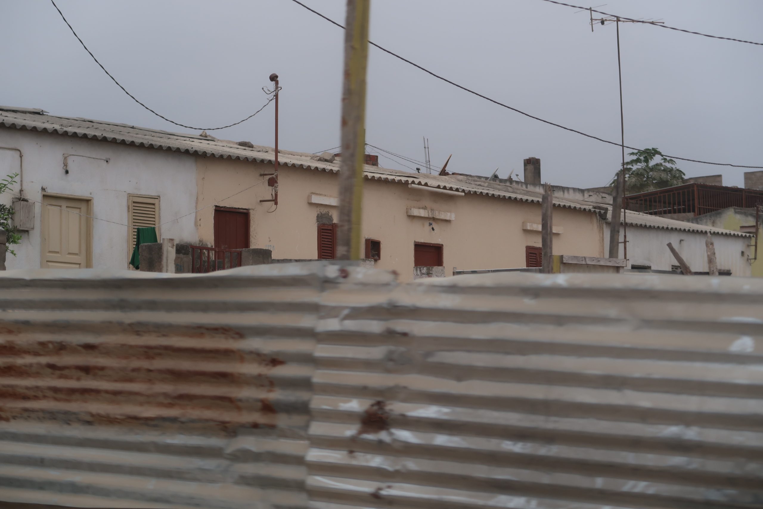
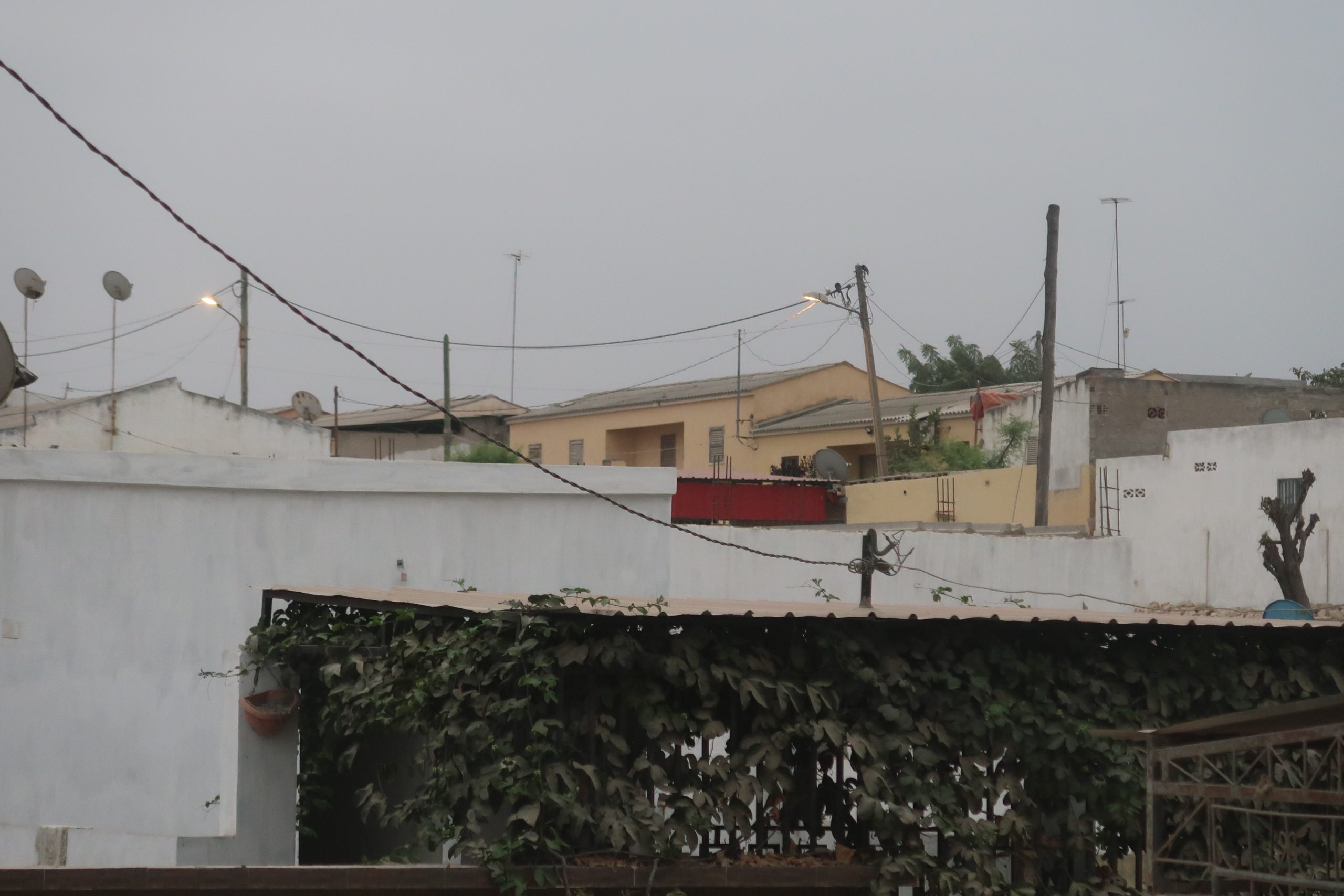
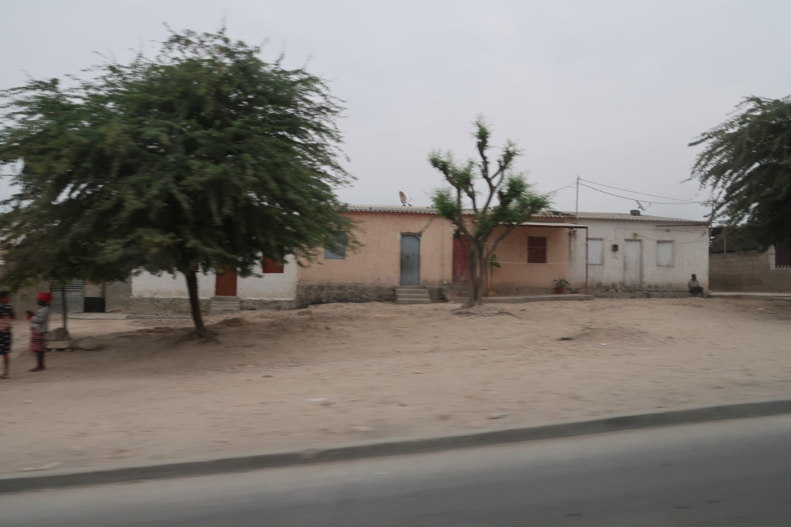
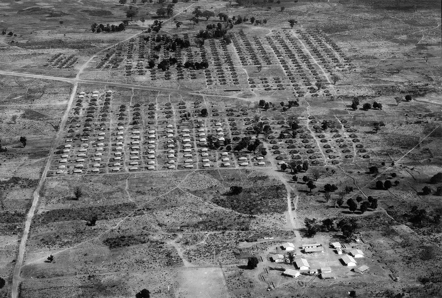
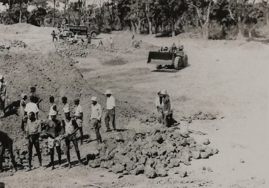
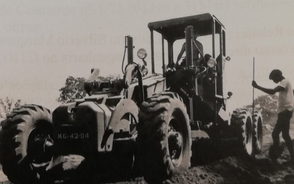
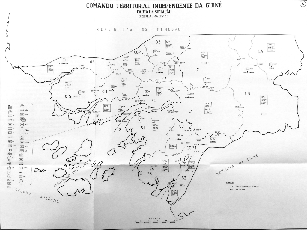
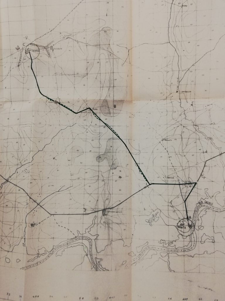
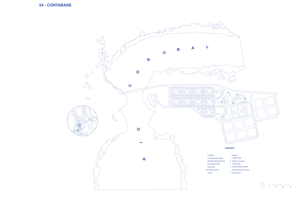
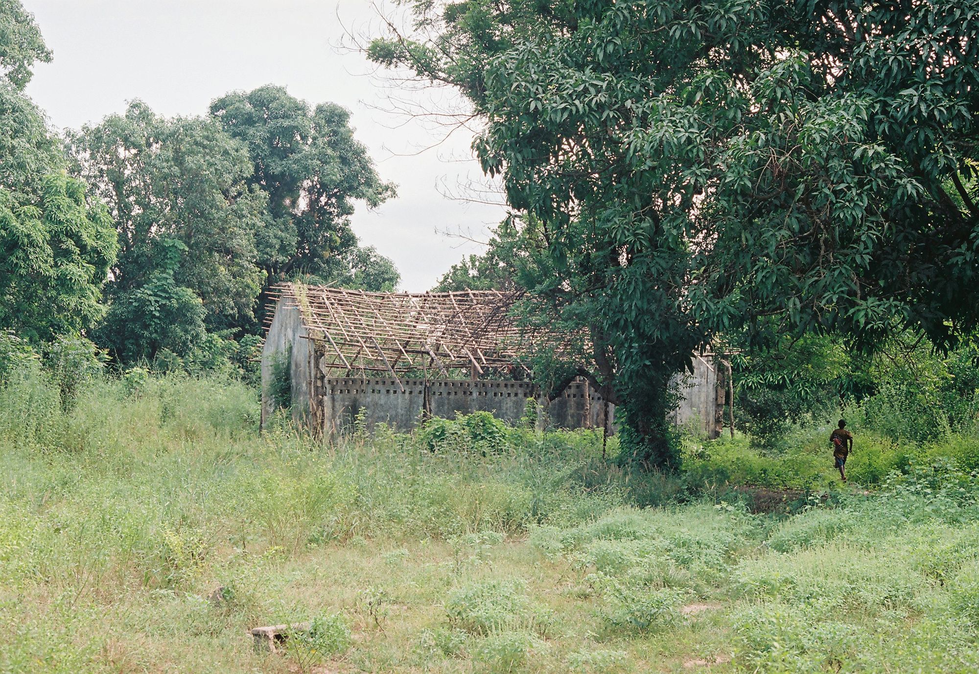
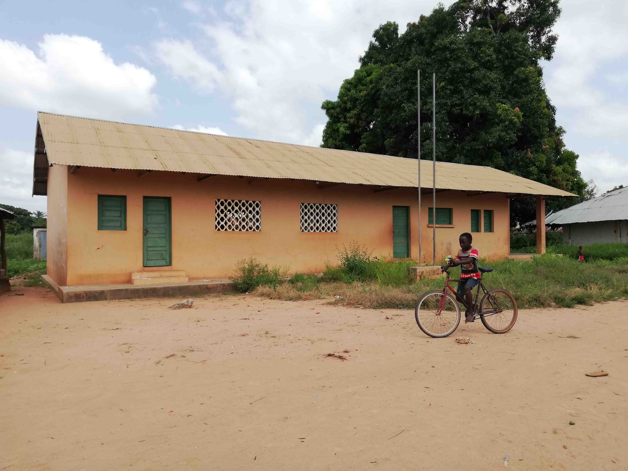
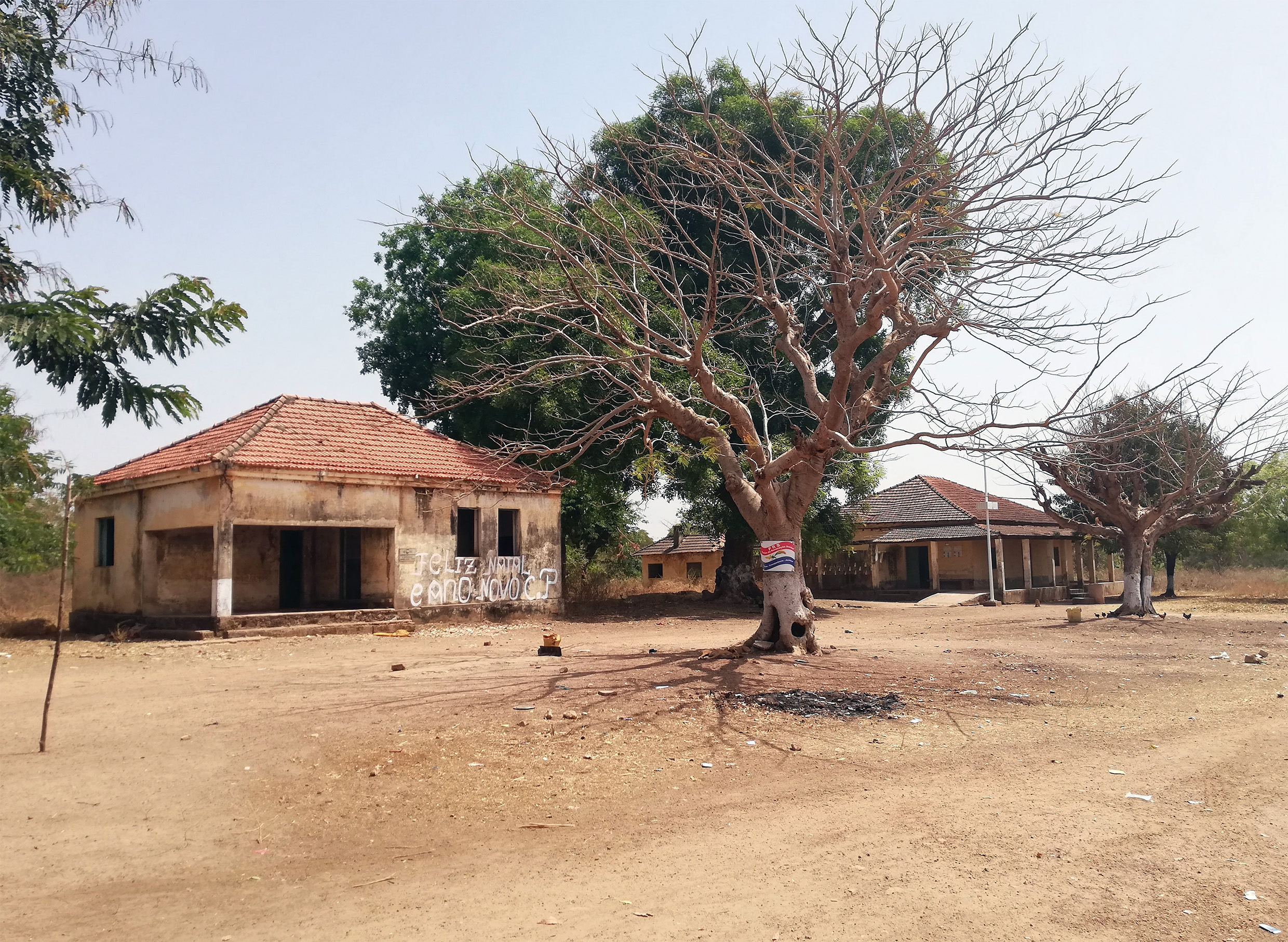
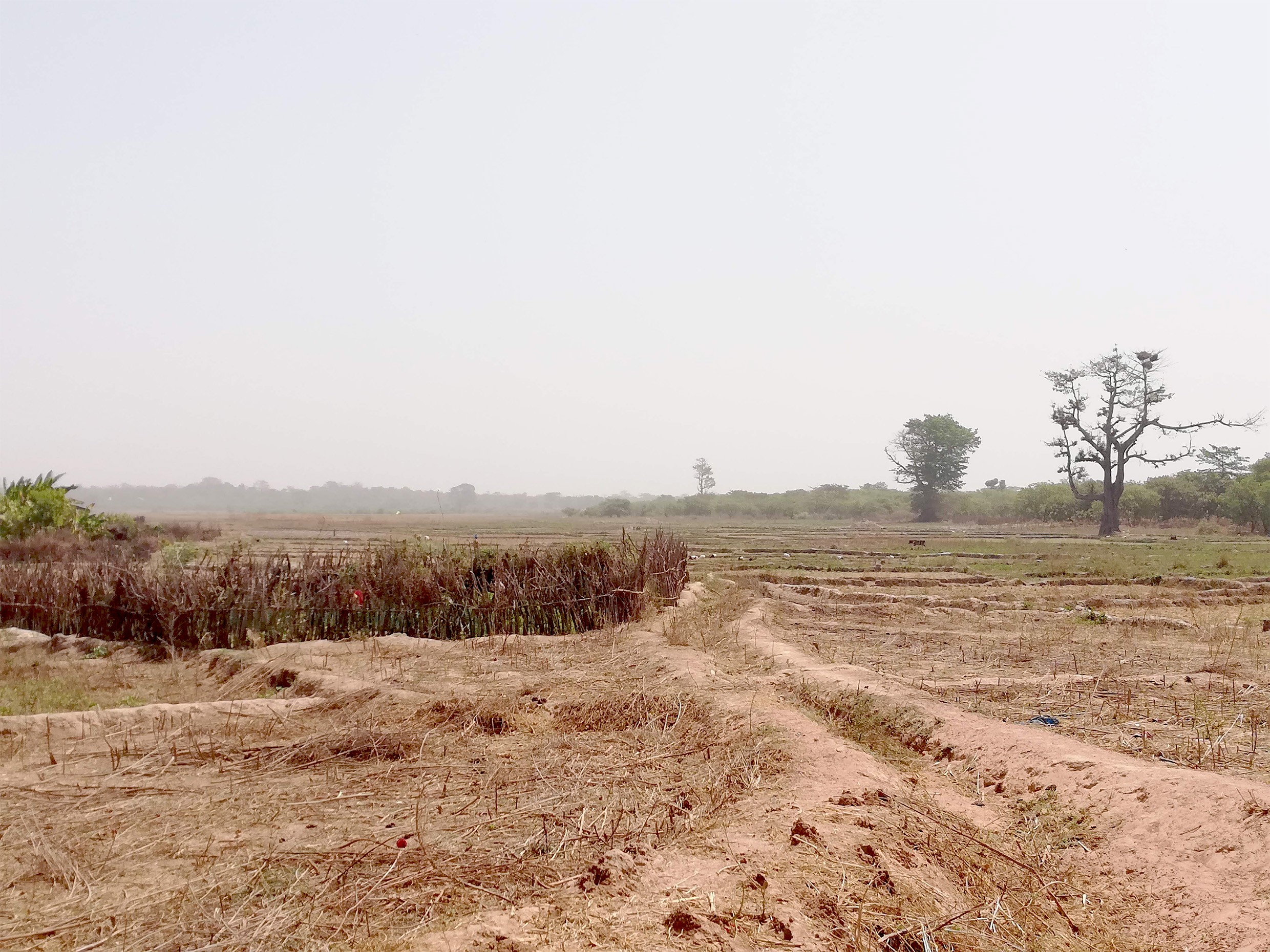
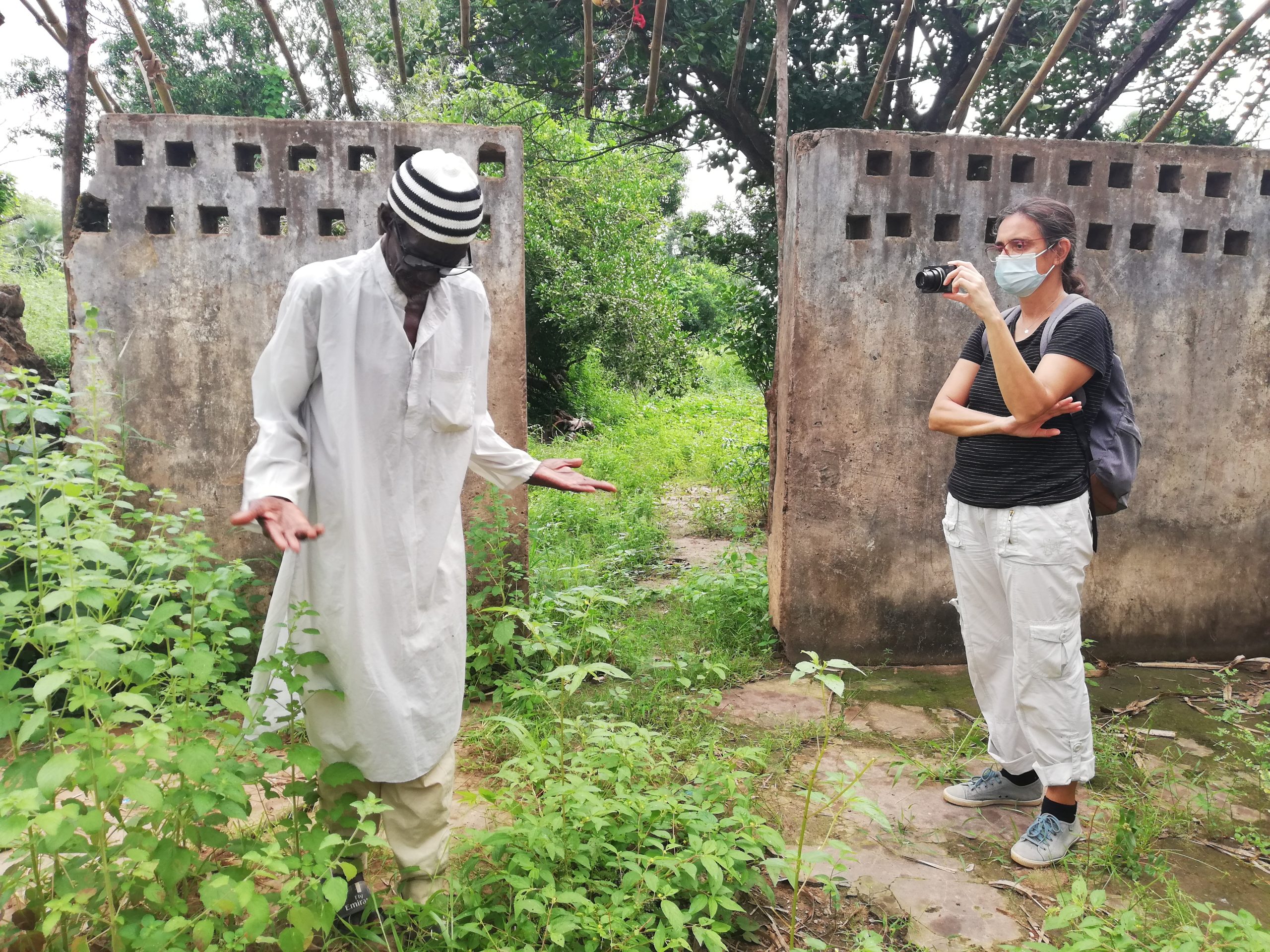
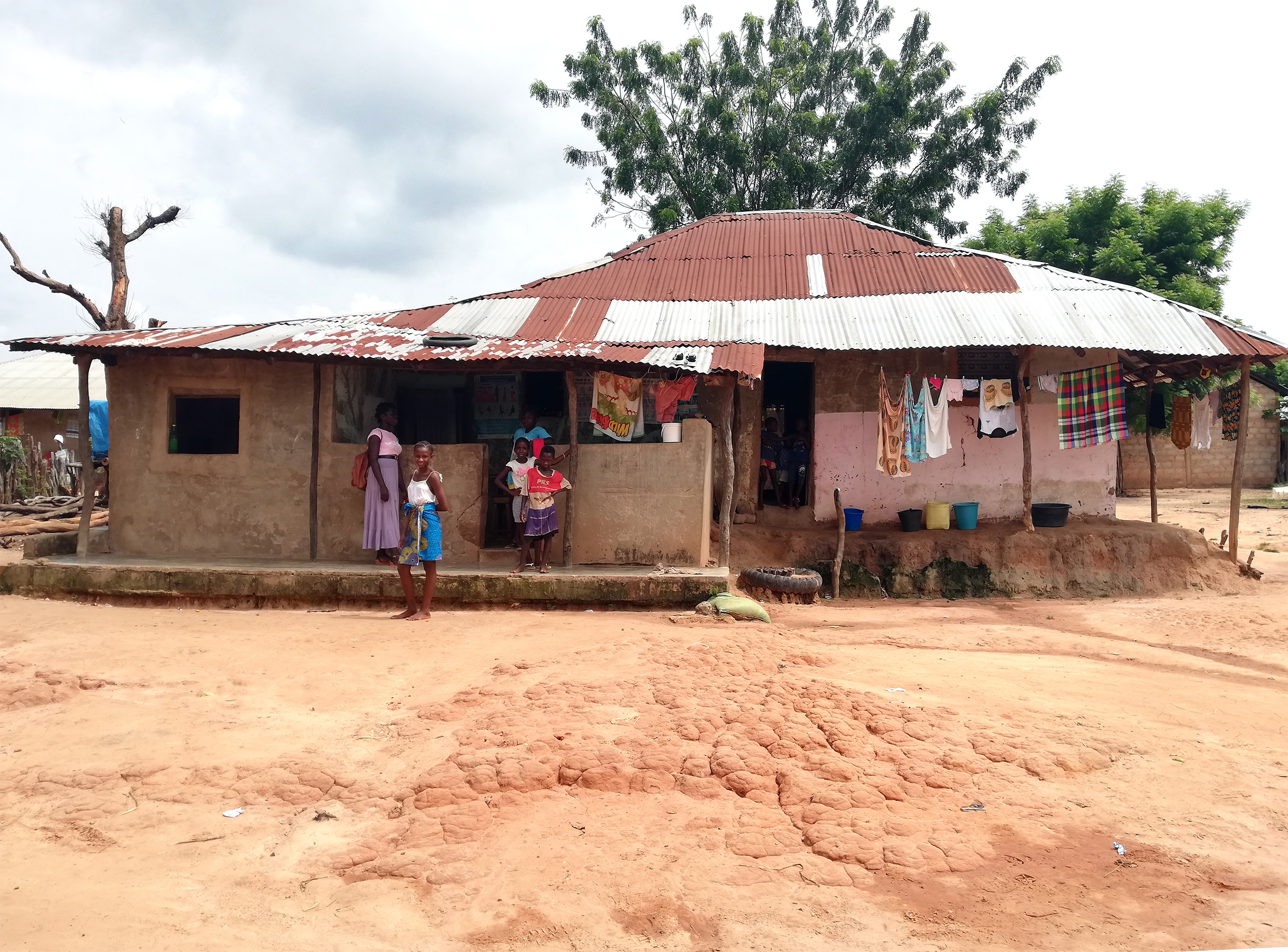
The research undertaken by Francesca Vita sheds light into the contradictions between discourse and action in late colonial administration, taking Guinea-Bissau as a case-study to question both the visible strategies of colonial domination, and the subtler strategies to establish control over the local population, by interfering in their private and public relations. This work highlights how architecture and urbanism served the purposes of population domination – “counter-subversion” as it was called by the colonial administration – to maintain power.
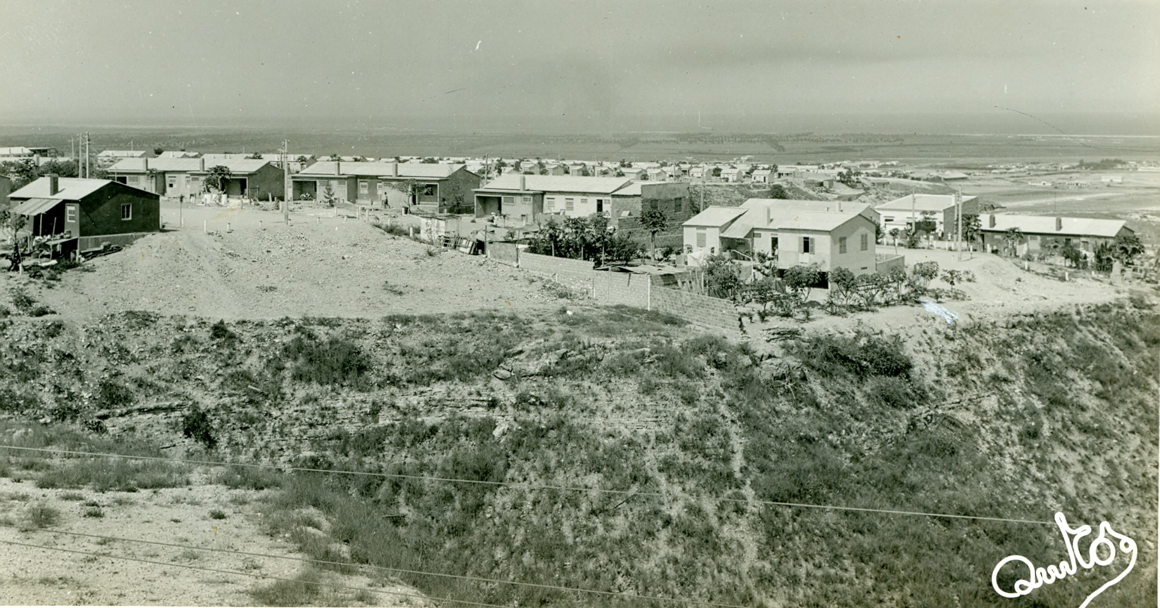
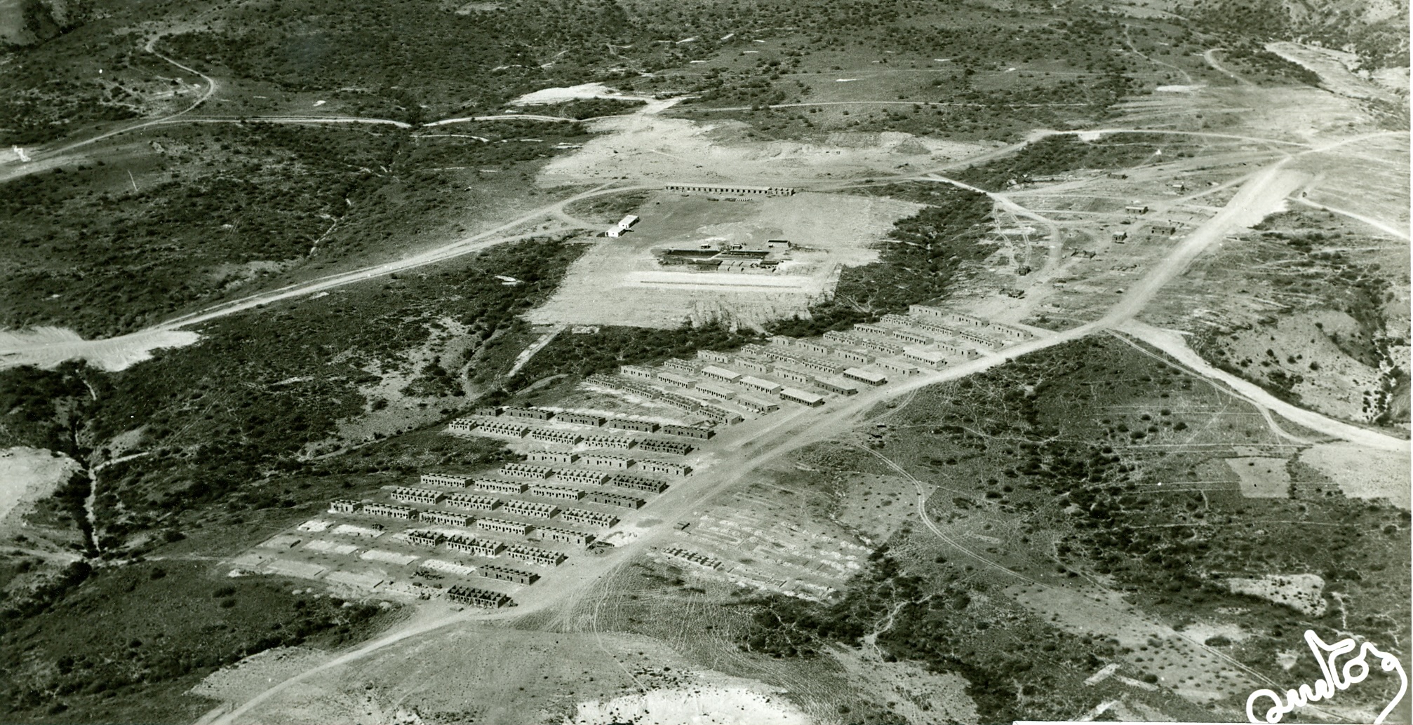
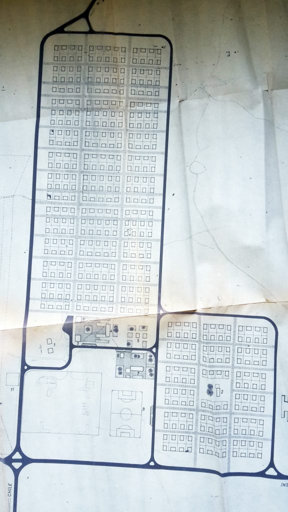
Focusing on the “Plan of Constantine” dated from 1958, yet extending the reflections to recent housing plans in Algeria, Ahmed El-Amine Benbernou investigates the contradictions between the colonial intentions of promoting social mix, and the actual impact of producing different mechanisms of spatial and economic segregation. Therefore, while understanding the appropriation process undertaken after independence, the author also analyses how certain housing solutions remained tools of perpetuation of poverty and asymmetries.
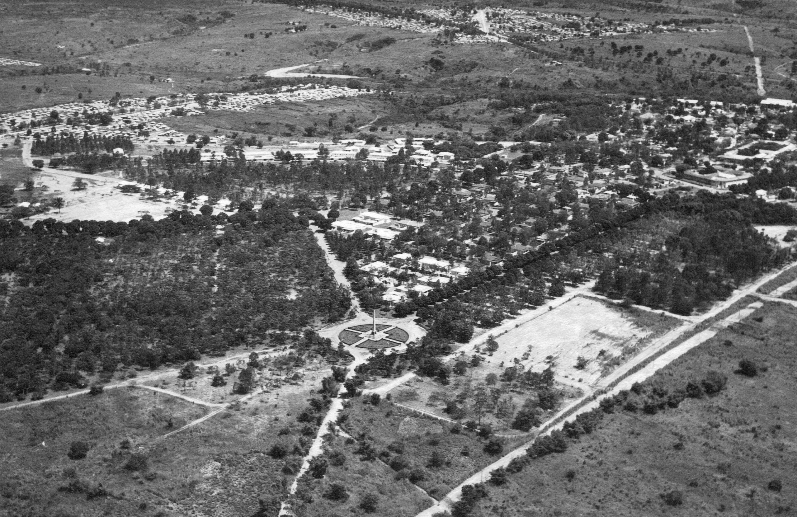
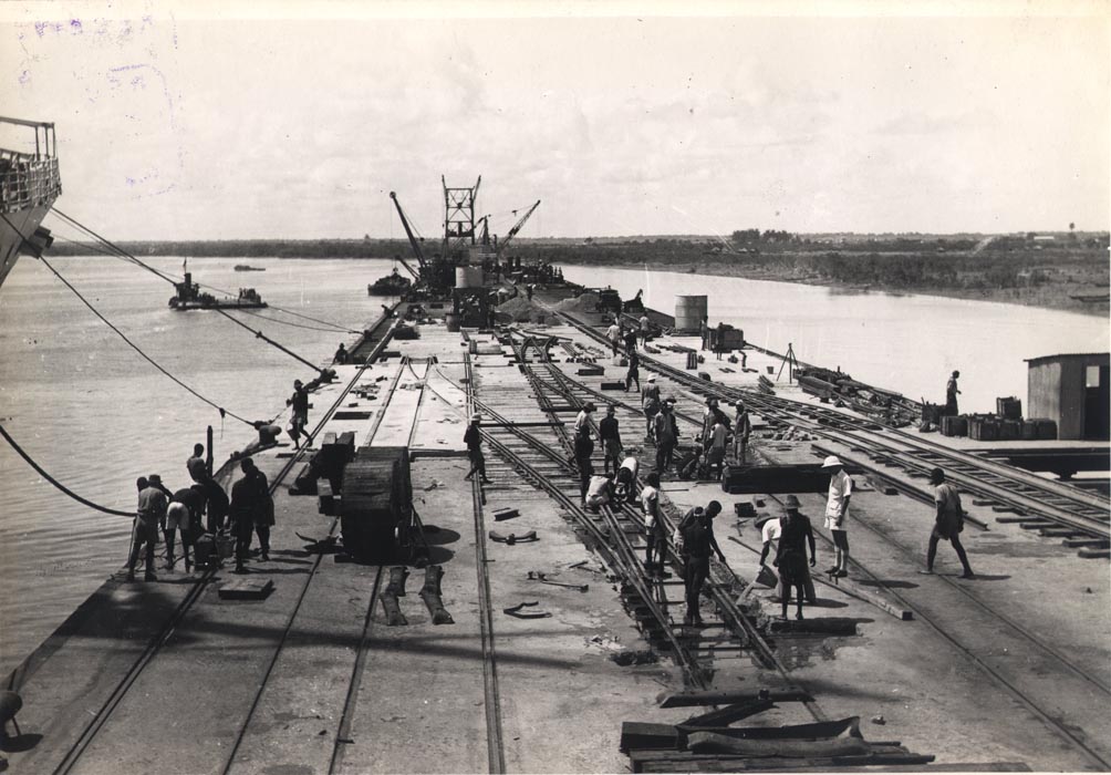
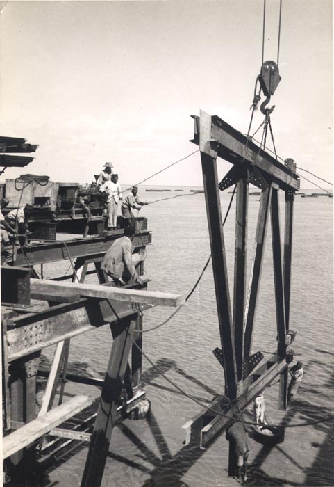
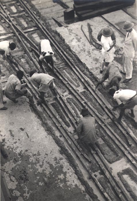
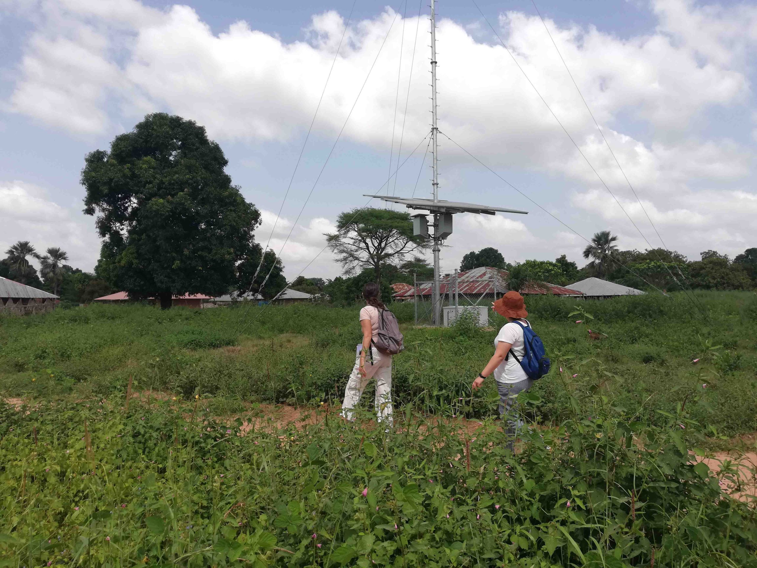
Expanding the debate to the infrastructural dimension, Carl-Philipp Bodenstein explores how segregation and exclusion are produced and reproduced by the asymmetries in the access to urban resources, in particular the infrastructures. By focusing on Livingstone in the late 1940s and 1950s, the author analyzes ideologies and discourses behind the conception and implementations of public transport, exposing the relations of dominance and their broad impacts.
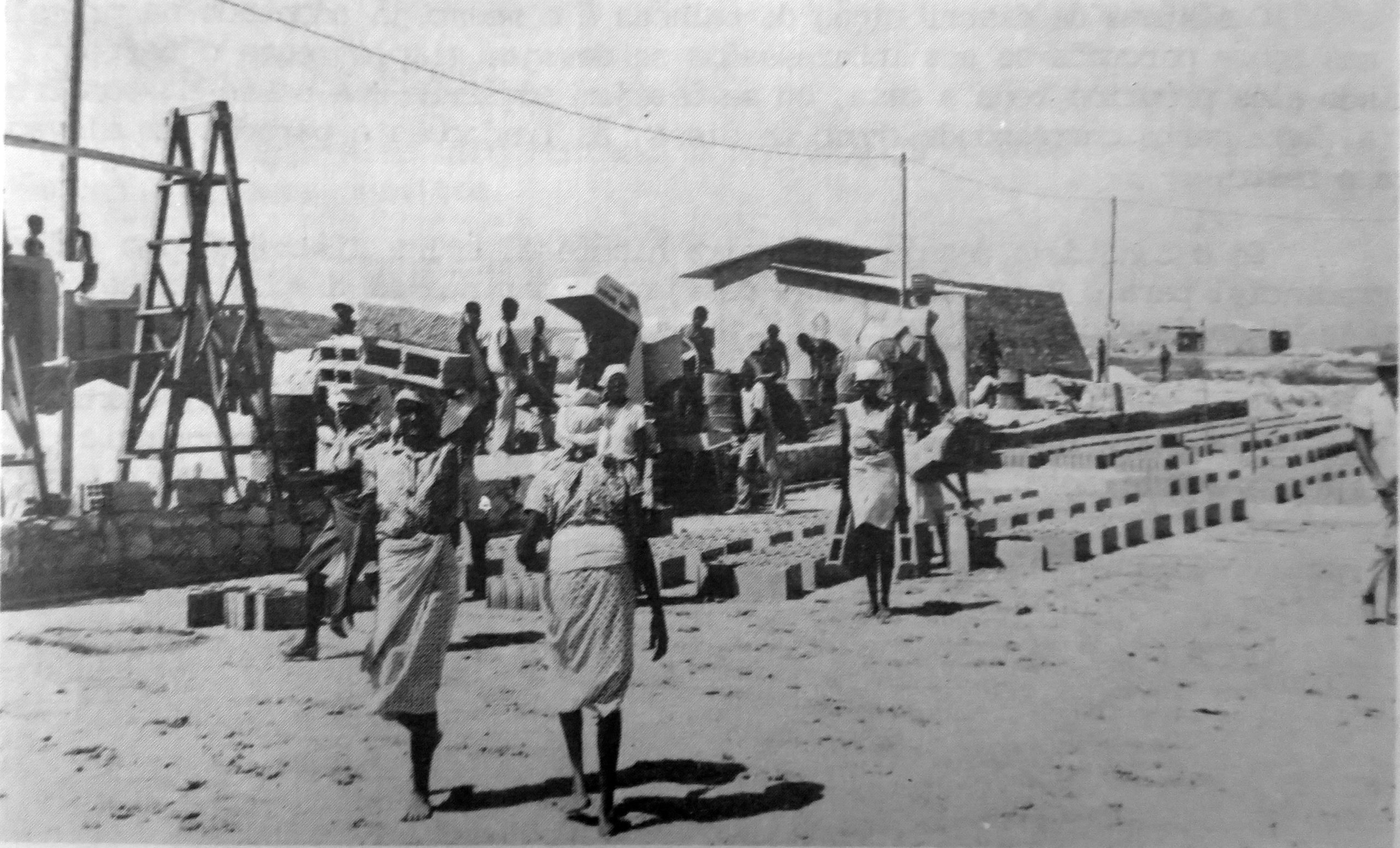
Lastly, Gemma Jennings investigates the “footprints” of oil exploration in colonial Algeria, discussing how – while its extraction produced major investments in transport networks, airport facilities and the urbanization in general – the actual impacts for local populations were largely overlooked, radically changing ethnic identities and social relations. This case exposes the role of major resources into shaping spaces and population relationships, not only under colonial rule, but also with broader repercussions.
This group of texts therefore exposes contradictions and complexities of the late colonial administration in several contexts which, while presenting different cases and specificities, broadly show how colonial discourses of modernization, democratization and integration of local populations were simultaneously mechanisms of reproduction of domain and legitimation of territorial occupation, through more visible or subtle means, in which architecture and urbanism served this agenda. Therefore, this demonstrates the importance of a reflection not only on impacts and long-term repercussions of these processes, but also of a critical and ethical questioning on the roles of these disciplines as tools of segregation or effective democratization towards our future societies and territories.
Click here for the original publication.